I feel like putting these hikes into a “10 Best”, numerically ordered list is not the way to properly describe these hikes. There are a variety of different types of hikes in the park, to ponds, to waterfalls, to mountains and more. So generally speaking, these are some really nice hikes in the park.
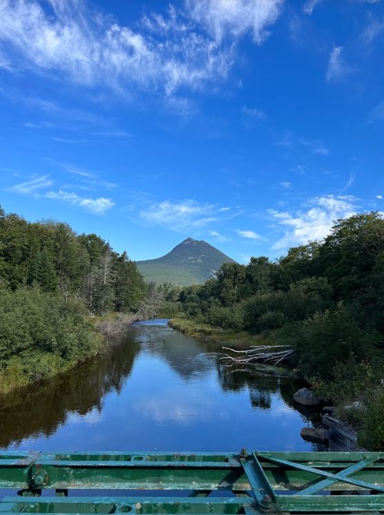
Daicey Pond Distance: 1.4 Miles Elevation Gain: 72 Feet Difficulty Rating: Easy Trail Type: Loop Trailhead: Daicey Pond A beautiful pond trail, if you hike at the right time of day you might see a moose. The trail can get rather muddy if it has rained recently. You can also throw in the Grassy Pond and Elbow Pond trails to extend your hike. Elbow Pond shows off views of Mt. Katahdin.
Little Abol Falls
Distance: 1.7 Miles Elevation Gain: 285 Feet Difficulty Rating: Easy Trailhead: Out & Back
A super cool little hike if you don’t have much time or just want a quick walk. The entrance to the hike is a little bit weird, it feels like you’re going through someone’s campsite. At the end of the trail you’ll be rewarded with Little Abol Falls, a small but pretty waterfall.
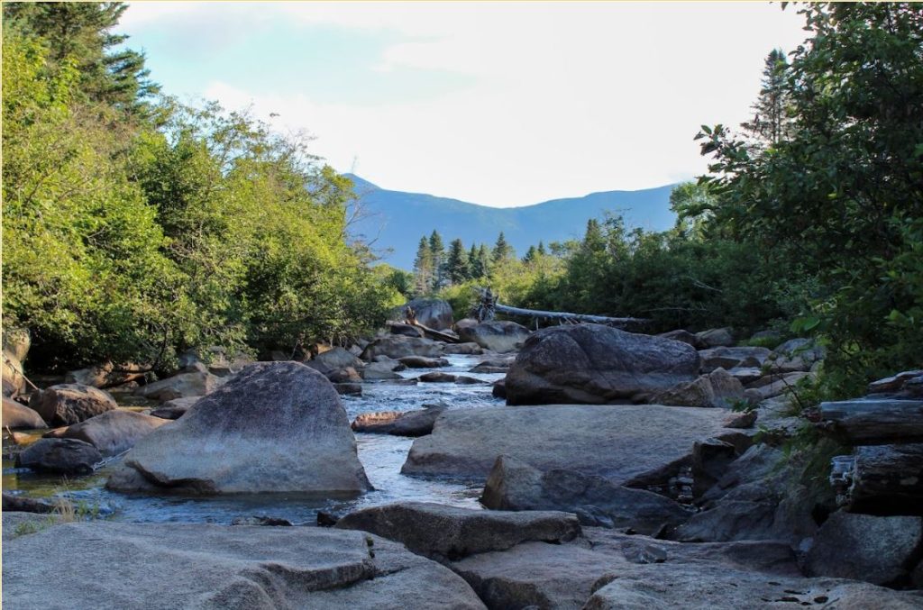
Little and Big Niagara Distance: 2.3 Miles Elevation Gain: 173 Feet Type: Out & Back Difficulty Rating: Easy Trailhead: Daicey Pond
A super easy walk to waterfalls. You can swim if you’d like but do keep safety in mind. The parking lot fills up quite early as well. A beautiful river view as well.
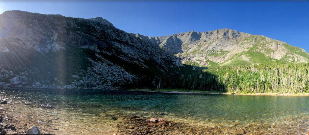
A super easy, super cool walk. You’ll pass the Chimney Pond trail, over the bridge and head towards the pond. There are some little boardwalks you’ll go over to get there, then you’ll find there are multiple spots to view the lake. There is a big rock viewing point that is a prime spot for moose viewing.
Abol Stream Trail Distance: 2.5 Miles Elevation Gain: 75 Feet Difficulty Rating: Easy Trail Type: Out & Back Trailhead: Abol Ponds Picnic Area
An easy nature walk with views of Mt. Katahdin. A 10/10 if you’re low on time or not looking to do a strenuous hike.
North and South Brother Distance: 9.8 Miles Elevation Gain: 3,618 Difficulty Rating: Hard Trail Type: Out and Back Trailhead: Marston
North and South Brother are part of the 4,000 footers of Maine, even though South Brother is 3,940 it was measured incorrectly the first go around and still counts. The trail has some water crossings, scrambling at the top and some steep grades. Amazing views of Katahdin from the peak.
Traveler Loop Distance: 9.8 Miles Elevation Gain: 3,694 Difficulty Rating: Hard Trail Type: Loop Trailhead: South Branch Pond
This hike is in the northern part of the park, up by South Branch Pond. Most people do this loop counterclockwise, but the grade is steep in either direction for ascent and descent. The trail markers are more visible when going counterclockwise, and the grade between the peaks is easier to navigate that direction. This hike could be equated to Katahdin with difficulty, be prepared for false peaks.
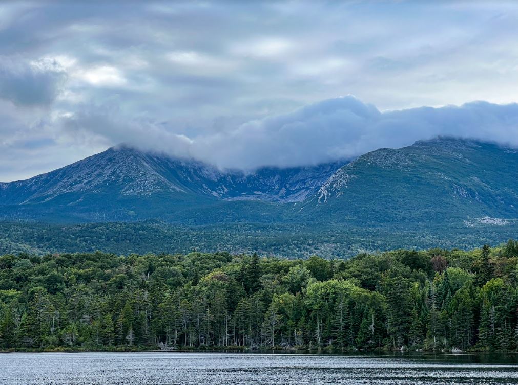
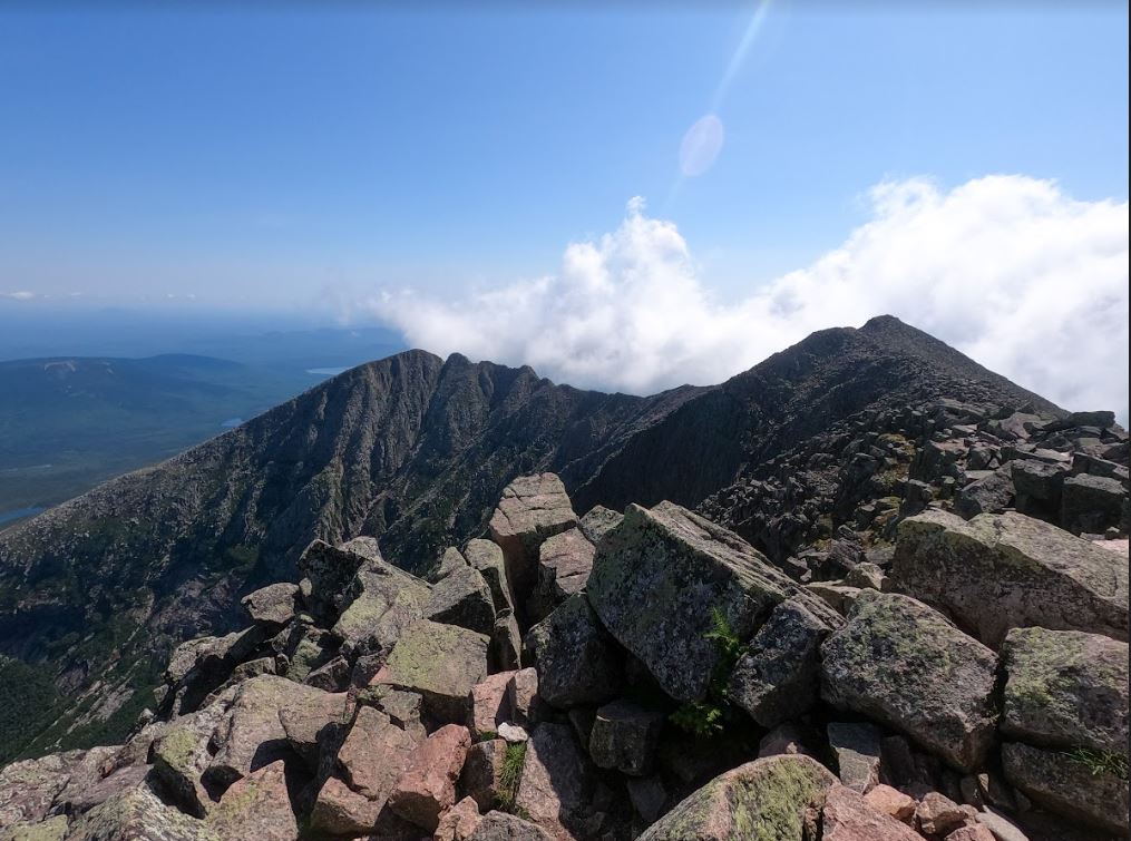
Mt. Katahdin has multiple trails and routes to consider. The easiest route up has been said to be the Saddle Trail up and the Helon Taylor Trail down. That being said beauty is in the eye of the beholder so take “easiness” with a grain of salt. We will do a more in-depth post about hiking Mt.Katahdin.
Doubletop Distance: 8.2 Miles Elevation Gain: 2,454 Difficulty Rating: Moderate/Hard Trail Type: Out & Back Trailhead: Slaughter Pond
The trail crosses several streams, and the trail can be quite wet after it rains. There are some steep inclines on the way up, with the possibility for some scrambling. The views of Katahdin are beautiful from the top. Make sure to check out the view from the second peak.
An amazing trail. If you’re looking for a trail that won’t take you all day but has beautiful views this is the one for you. Chimney Pond is at the base of Mt.Katahdin and has the most beautiful blue water.